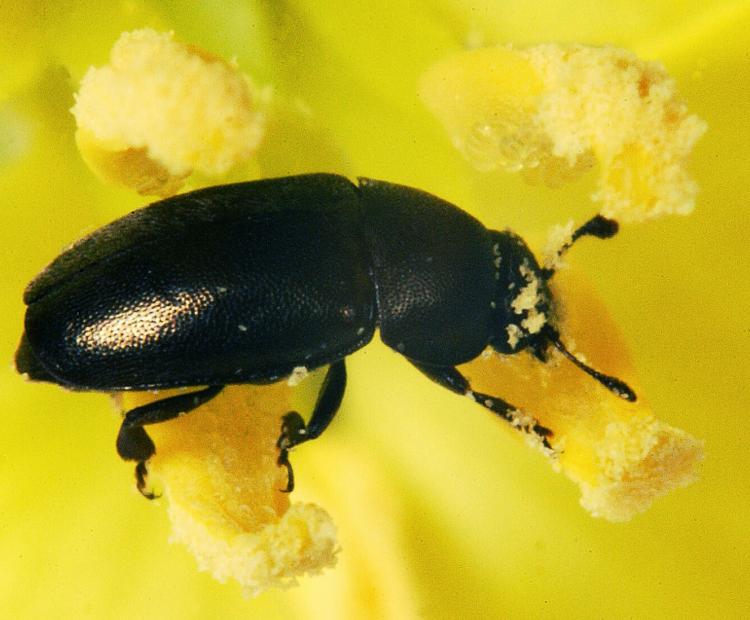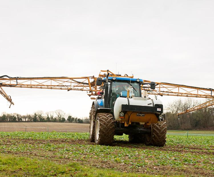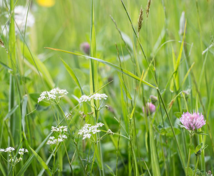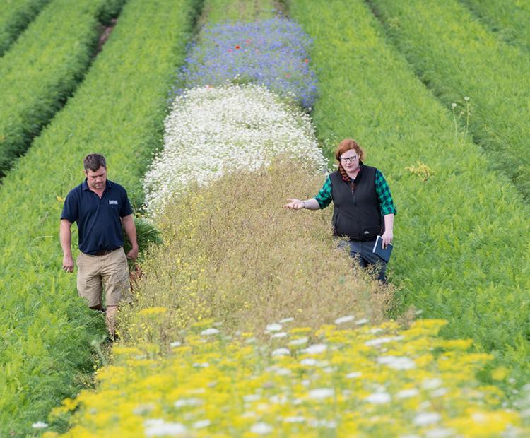
The big picture: using wildflower strips for pest control
They may be beautiful, but these strips prove pretty deadly for every farmer's mortal enemy: aphids

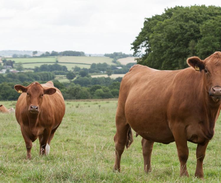
Net Zero and Resilient Farming
Paul has a number of research themes: spatial/spatio-temporal statistics, geostatistics and geographically weighted (GW) models; development of R statistical packages for above themes (see GWmodel on CRAN); analyses of agricultural, marine, ecological, environmental and socio-economic data; analyses of remote sensing, crowd-sourced, land cover and land use data; hybridisation of agri-process-based models with statistical models; statistical and data mining methods for quality control of large, multivariate, spatio-temporal environmental data sets; visualisation; methodological development in robust, non-stationary and scale-dependent statistical models.