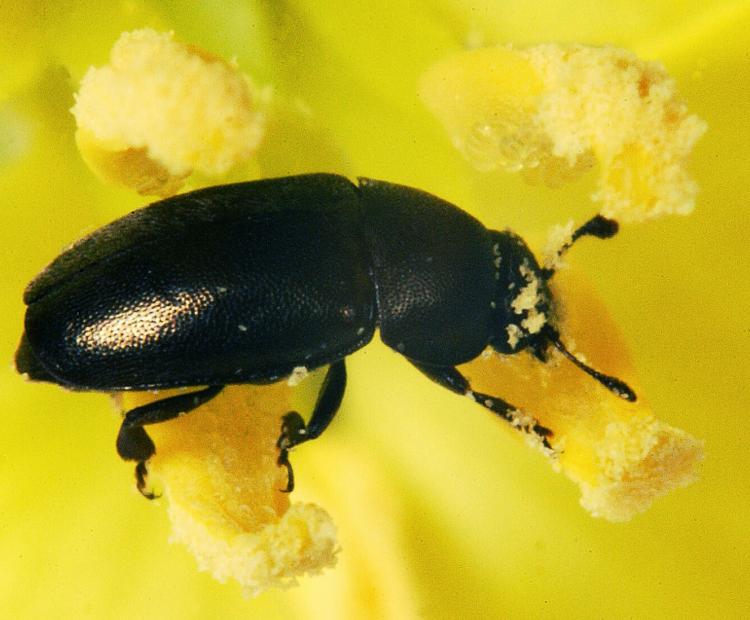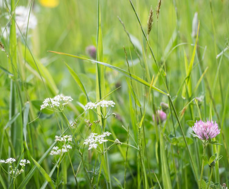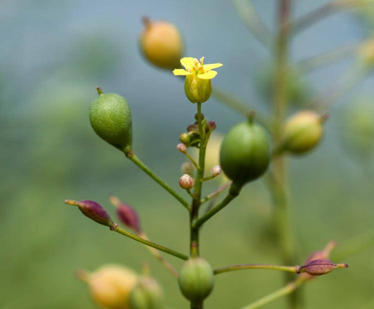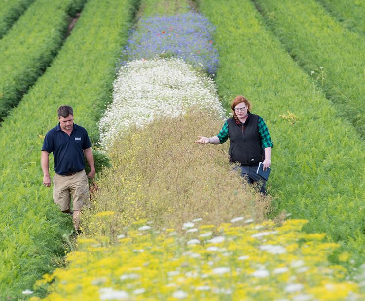
The big picture: using wildflower strips for pest control
They may be beautiful, but these strips prove pretty deadly for every farmer's mortal enemy: aphids
For more information, please contact kevin.coleman@rothamsted.ac.uk
To see how we are using the model,please follow this link
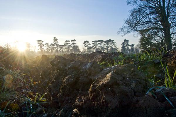
The Rothamsted Landscape Model is a suite of interacting process-based modules that simulate soil processes, (including soil organic matter, soil nutrient and water dynamics), livestock production and crop growth and yield, including interactions with arable weeds. The model is spatially explicit with adjacent pieces of land (fields or watecourses) linked to simulate spatial movement of nutrients, water (and in the future pests). The model components are based on well-established models such as RothC and LINTUL (as described in Coleman et al., 2017) but also include many new routines, for example (i) the production and emissions from dairy, based on work done by Misselbrook et al. on the Defra funded project ‘Improvements to the UK Greenhouse Gas Inventory’ (ii) erosion, and (iii) a novel trait-based weed model (Metcalfe et al., 2020).
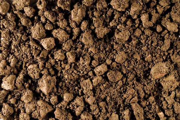
RothC is a model for the turnover of organic carbon in non-waterlogged topsoils that allows for the effects of soil type, temperature, moisture content and plant cover on the turnover process. It uses a monthly time step to calculate total organic carbon (t ha-1), microbial biomass carbon (t ha-1) and ∆14C (from which the equivalent radiocarbon age of the soil can be calculated) on a years to centuries timescale.
For more information about RothC please contact kevin.coleman@rothamsted.ac.uk
To download the model please follow this link
To use the app, please follow this link
The RothLime app is used for deciding how much lime to add to raise a soil's pH under UK conditions. Soil pH refers to measurement made in water with a soil:water ratio of 1:2.5 (weight:volume). It asks for the measured pH and the target pH. The range of pH covered is 4.5 - 7, and the target pH must be above the measured value.
The target pH is at least 6.5 for most arable soils, 6 for most grassland soils. This promotes optimum nutrient supply and avoids acidification, aluminium release and crop damage. A user selects what type of liming material they intend to use, the type of soil to be limed and the current agricultural land use (arable or grass). The user can input the actual neutralising value, which is useful if the product to be used is different from the assumed value for any given liming material.
MOTOR is a flexible system that was built to describe the transformations of organic carbon and nitrogen in soil. The model is written in Fortran and works with any operating system for which there is a Fortran compiler. MOTOR was developed under Visual Fortran.
To download the model please follow this link.
For more information please contact Lianhai Wu at lianhai.wu@rothamsted.ac.uk.
To download the model please follow this link.
The SPACSYS model (Wu et al., 2007) is a mixed dimensional, multi-layer, field scale, weather-driven and daily-time-step dynamic simulation model.
The current version includes a plant growth and development component, a nitrogen cycling component, a carbon cycling component, a phosphorus cycling component, plus a soil water component that includes representation of water flow to field drains as well as downwards through the soil layers, together with a heat transfer component.
SIFT is a recently developed piece of software for data processing. It is utilises R, using Shiny app, to step end users through critical decisions for applying tracer data to generate robust sediment source apportionment.
To download the model please follow this link.